
ORLANDO, Fla. — A tornado watch was issued for Central Florida until 3 a.m. This means conditions are favorable for tornadoes to develop. The line of thunderstorms will arrive in our northwestern counties around 10 p.m. and be by metro Orlando around midnight or shortly before.
Tornado watch issued for ALLL of Central Florida. This means conditions are favorable to develop tornadoes overnight. BE SURE to have 3 ways of receiving weather alerts. https://t.co/qhWzHINbpD pic.twitter.com/cUpFmzBS56
— Irene Sans (@IreneSans) February 7, 2020
Tornado watches have been issued for Marion and Flagler counties until midnight tonight.
Chief meteorologist Tom Terry will be live tracking the system live on Channel 9 Eyewitness News. Click here to watch live.
>>> CLICK HERE TO WATCH CHANNEL 9 EYEWITNESS NEWS LIVE <<<
- Storms could turn severe as the cold front approaches Central Florida late this evening.
- A line of storms will be pushing through overnight
- Conditions are favorable for tornadoes to develop. Be sure to have at least three ways of receiving weather alerts and know what to do in case a tornado warning is issued for your location.
Tornado watch Marion and Flagler counties until midnight. Live updates on @WFTV. pic.twitter.com/Ht1y7EJVn3
— tom terry (@TTerryWFTV) February 6, 2020
Know the difference: Tornado Warning vs. Tornado Watch
DOWNLOAD OUR FREE WFTV WEATHER APP TO RECEIVE ALERTS
A strong low-pressure system accompanied by a cold front continues to trigger messy conditions across the Eastern U.S. Ice is expected for the Northeastern region of the U.S., along with snow. Rain could cause flooding for parts of the Mid-Atlantic and severe weather threatens the Southeast Thursday into early Friday morning.
In Central Florida, there is the chance for severe weather to arrive before midnight. Storms should be entering Marion County by 10 p.m. and be well aligned as the move to the east-southeast.
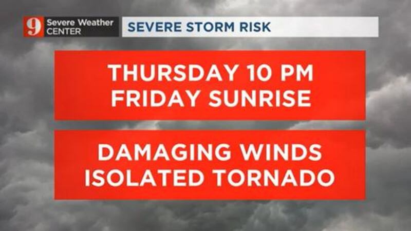
***SEVERE STORM THREAT TONIGHT*** Have multiple ways to get warnings tonight. We will be on Channel 9 through the night, if warnings are issued. Damaging winds and isolated tornadoes are possible. I’m on Channel 9 this morning going over the specifics and new info. pic.twitter.com/tYB6breW0a
— Brian Shields (@BrianWFTV) February 6, 2020
Shortly after midnight, storms should be entering Orange County. Although the line will be weakening as it moves toward South Florida, we still expect strong to severe storms to push over the entire Central Florida region. Once the line enters the Treasure coast, the severe threat diminishes. We forecast that the storms will have crossed Central Florida by sunrise Friday.
THREATS FOR CENTRAL FLORIDA
Storms could produce damaging wind gusts, downpours that could lead to some flooding and the chance for an isolated tornado. Have at least three ways of receiving weather alerts in case one is issued for your location.
Storms to the west. Moving in tonight for Central Florida. Isolated tornadoes possible. Live tracking now on Channel 9. pic.twitter.com/vMbuHXSb2R
— Brian Shields (@BrianWFTV) February 6, 2020
The Tornado Watch includes the Panhandle of Florida. The threat moves our way tonight. Damaging winds, isolated tornadoes possible. I'm going over the hour-by-hour timeframe on Channel 9 now. pic.twitter.com/Ypsk0NMXk3
— Brian Shields (@BrianWFTV) February 6, 2020
DOWNLOAD OUR FREE WFTV WEATHER APP TO RECEIVE ALERTS
Our team of meteorologists will continue to monitor the evolution of this system and the threats to Central Florida on wftv.com, our free WFTV Weather App and on Channel 9.
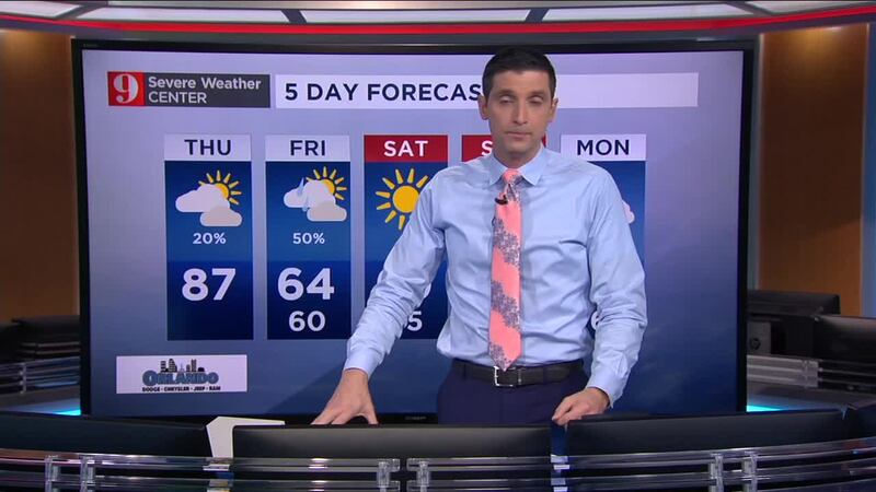
Catch up on your 5-day forecast:
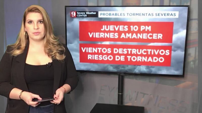
Pronóstico del tiempo en español por nuestra meteoróloga certificada Irene Sans
Follow our Severe Weather team on Twitter for live updates:
- Chief meteorologist Tom Terry
- Brian Shields
- Irene Sans
- Kassandra Crimi
- George Waldenberger
- Rusty McCranie
DOWNLOAD: Free WFTV News & Weather Apps
© 2020 Cox Media Group


