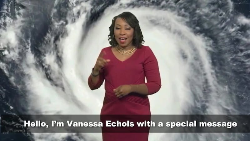
As hurricane season approaches, everyone starts getting ready to face it. Regardless of what the forecast might predict, we all know it only takes one storm to make landfall in your area to make it an active season for you. As much as it is important for the public to get ready, the professionals behind, and in front of, the scenes -- such as the government meteorologists, the emergency managers and the broadcast meteorologists -- also need to get ready.
As technology advances, there are new products developed and implemented. Government employees work year-round readying these products to improve communications and provide better preparedness, in hopes of saving more lives when a storm arrives.
Great day to visit NWS Melbourne for #mediaday #wftvweather pic.twitter.com/FbaSaYbdTb
— Eboni Deon, WSB (@EboniDeonWSB) April 11, 2018
Read more: Will a hurricane be named after you this season? 2018 storm names are here
Media meteorologists also need to prepare and learn about the new products and know exactly what they do, in order to explain them to the viewers.
There are conferences, workshops, seminars, webinars and even tours happening in the spring. Our team of meteorologists attended the Media Workshop Day at the National Weather Service Office in Melbourne. As you can imagine, there was a lot of talk about hurricanes -- from Hurricane Andrew to last year’s Hurricane Irma, and most importantly, what can be done differently this upcoming season to keep more people safe.
April 11 | Today we hosted our local TV mets from the Orlando & West Palm Beach media markets at our annual Media Workshop, to discuss operations & messaging during extreme hurricane conditions. Thanks to everyone for coming out! :) pic.twitter.com/1uCMvANB3G
— NWS Melbourne (@NWSMelbourne) April 11, 2018
Read more: 2018 hurricane season forecast released, could be another active stretch
For example, Hurricane Irma triggered 51 tornado warnings across Central Florida. Ten of those were confirmed tornadoes. But how can a NWS meteorologist distinguish between damage done by storms moving at 50-60 mph, producing straight line winds, to cells that produce a tornado? Also, being in the middle of a hurricane and, at the same time, receiving lots of tornado warnings over the same area can cause the public to become overwhelmed and perhaps confused.
WATCH MORE WEATHER FACTS AND HACKS
The National Weather Service is analyzing the possibility of working with new technology to try to distinguish between cells that could develop tornadoes on the low end of the scale with winds below that hurricane’s category, such as an EF0, under a Category 2 hurricane. This would change the messaging in tornado warnings during hurricanes, to identify tornadoes. This kind of technology might seem far-fetched, but with the new satellites and coming improvements in local radar, there is a chance that this can become a reality in the near future.

Make sure to start thinking about hurricane season. Know the county you live in, and those around you. Know if you are in an evacuation zone and, if you live in a mobile home or weak structure, make sure to know where you would go in case a hurricane is threatening.
Our team of meteorologists is gearing up for the 2018 season and will continue to bring you updates about the season, the drivers and ways for you to get prepared, on Channel 9, on wftv.com and on the Channel 9 Weather app.
Cox Media Group


