ORLANDO, Fla. — Update:
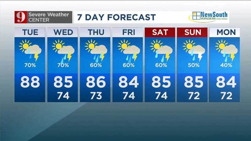
Chief meteorologist Tom Terry said you can expect heavy rain through the weekend.
▶ WATCH CHANNEL 9 EYEWITNESS NEWS
A combination of several rain-makers will bring daily rounds of rain and some heavy storms into the upcoming weekend, he said.
Terry said models are showing the highest coverage of rain along the coast, with more than 5 to 8 inches of additional rain possible through the weekend.
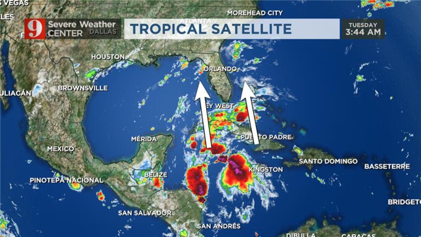
“A pair of upper-air disturbances -- one in the Gulf and another in the southern Gulf states -- will continue to stream moisture into our area and help bring higher-than-seasonal rain chances into the weekend,” he said.
Read: Hawaii wildfires: First group of residents return to Lahaina
We can expect to get on “the drier side of all this by early next week,” Terry said.
So far on Tuesday, clouds have kept the area cooler and rain has been slower to form.
“We’re still expecting increasing rain and storms by early evening,” he said.
Terry will track the incoming storms live on Channel 9 Eyewitness News at 4.
Click here to download the free WFTV weather app.
Earlier story:
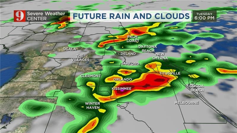
Central Florida will continue to see a very active weather pattern on Tuesday.
Our area will see widespread rain and storms Tuesday afternoon.
Central Florida will see a 70% overall chance for rain.
See: Li’i, Lolita’s companion at Miami Seaquarium, moved to SeaWorld in San Antonio
Some storms could be strong and street flooding is possible in some areas.
We will be in this weather pattern over the next several days.
Read: Powerball: Jackpot increases to $835 million
This rain and storm activity is being fueled by moisture pumping in from the south of Florida.
Follow our Severe Weather team on X for live updates:

©2023 Cox Media Group


