ORLANDO, Fla. — 8 p.m. Update:
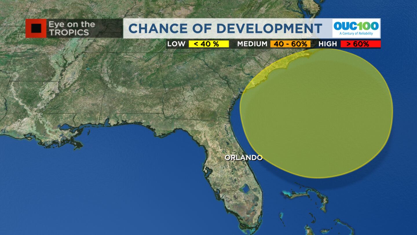
The tropical weather outlook added a chance for development off the Florida coast later this week as a low-pressure area develops.
It will start as a non-tropical low later in the work week, with an outside chance it could develop tropical characteristics by the weekend.
For our coast, it means wave heights build again, and so does the risk of dangerous rip currents and beach erosion during high tides.
Original Story:
A few spotty storms remain in the area and will most likely converge near Brevard County by Sunday evening before tapering off.
Monday will see a drier weather pattern for most areas around Central Florida with higher rain chances for Brevard, Osceola and Polk Counties. This same pattern continues on Tuesday.
▶ WATCH CHANNEL 9 EYEWITNESS NEWS
Wednesday and Thursday, we will see a few scattered storms return but with less heat.
Friday into next weekend will see a low-pressure system that may form just off our coast, increasing our rain outlook at the beaches. This system may generate some gustier winds and will likely build the surf back up at our beaches with an additional risk of dangerous rip currents.
Read: Local law enforcement reacts to Othal Wallace verdict
As for the Tropics, Lee is a post-tropical storm over Canada racing to the northeast and still producing tropical storm-force winds.
Margot has weakened dramatically and is no longer a tropical cyclone.
Read: New crosswalk in Orlando pays homage to Lake Eola’s iconic swans
Nigel is gaining momentum as a tropical storm and is expected to become a hurricane soon but will stay far from the U.S. coast.
Another tropical wave will likely develop into the next system in the next week and move across the Atlantic from the direction of West Africa. The next name is Ophelia.
Read: Tropical Storm Nigel expected to strengthen into a hurricane
Click here to download our free news, weather and smart TV apps. And click here to stream Channel 9 Eyewitness News live.
©2023 Cox Media Group


