CENTRAL Fla. — It was a warm Saturday with scattered storms, but some changes are ahead to close out the weekend.
The scattered rain and storms will exit later this evening, with quiet conditions returning overnight. Morning lows will be in the mid 70s.
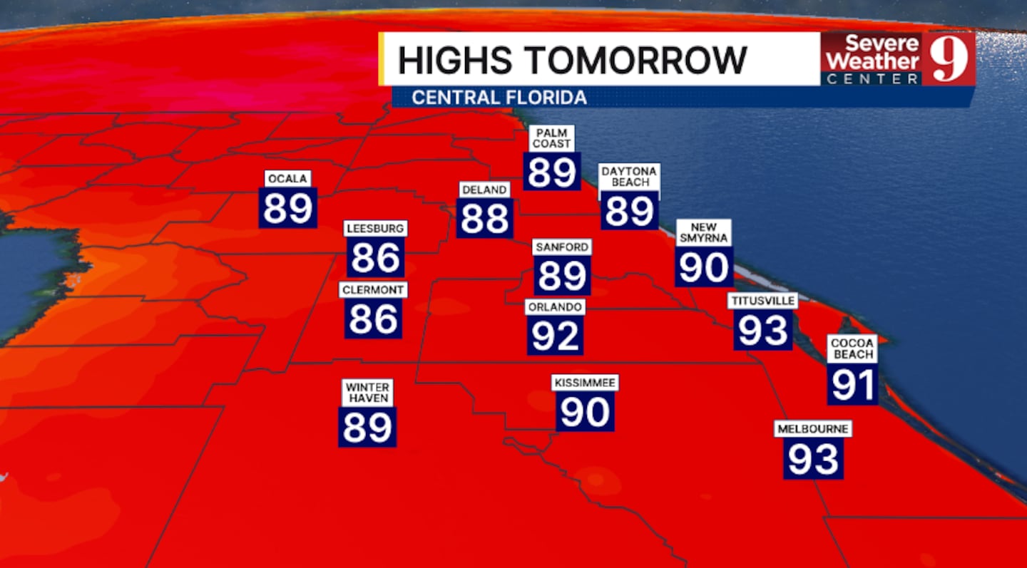
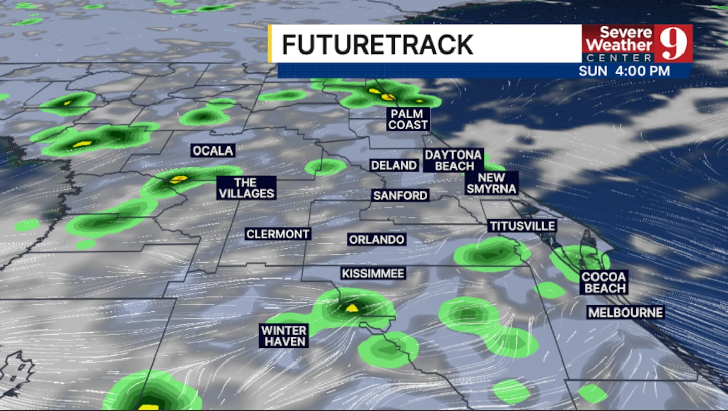
Some minor changes arrive for Sunday. An early start to rain and storms is becoming likely, and coverage may be slightly lower than on Saturday. Highs will be in the low 90s.
The somewhat drier air will linger into the start of next week. Just widely scattered PM storms are anticipated on both Monday and Tuesday, with highs in the mid-90s.
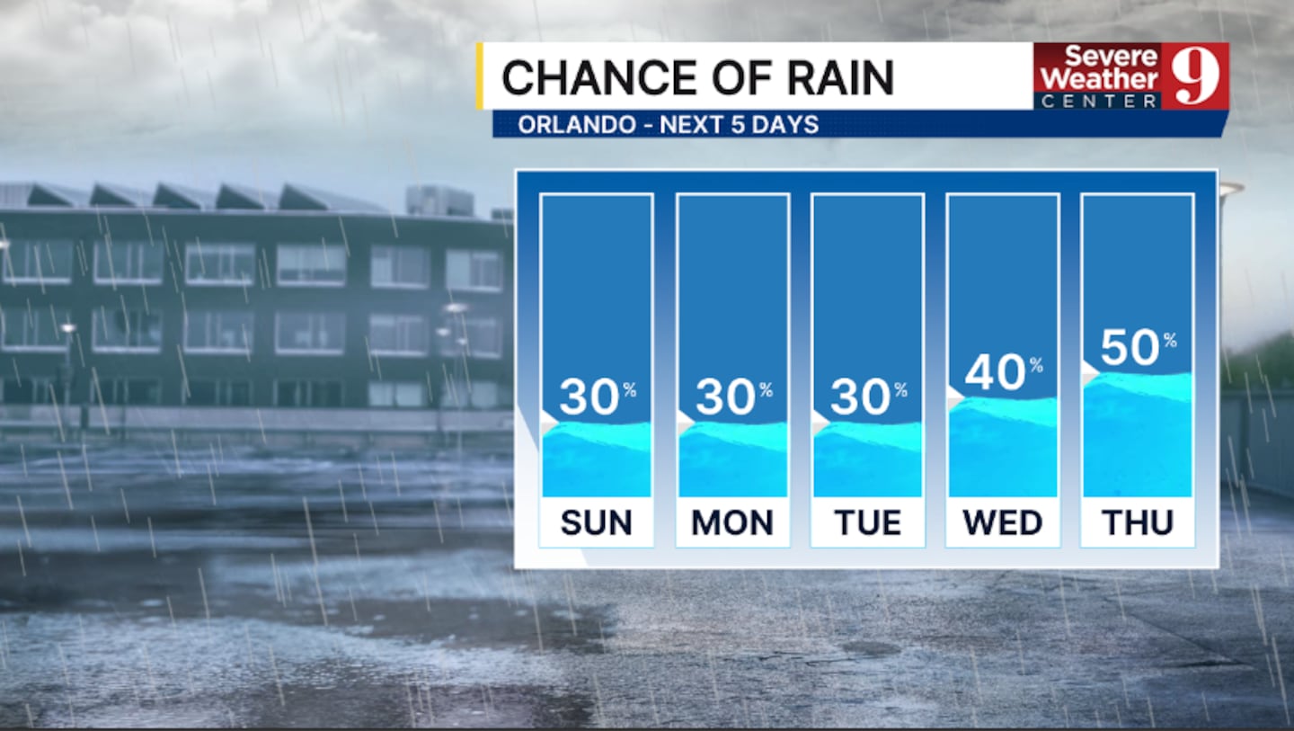
Some deeper tropical moisture returns by mid next week, increasing the threat of rain and storms. Scattered activity is likely on both Wednesday and Thursday, with highs in the mid-90s.
The daily storm chances will likely continue to close out next week.
Click here to download our free news, weather and smart TV apps. And click here to stream Channel 9 Eyewitness News live.

©2026 Cox Media Group