ORLANDO, Fla. — It’s been a nice end to the weekend, with the major concern being river levels on the St. Johns.
▶ WATCH CHANNEL 9 EYEWITNESS NEWS
The updated levels continue to show moderate to major flood events developing up-and-down the St. Johns, with some of the worst flooding continuing in Astor and DeLand.
River levels will be very slow to recede, with major flood levels likely continuing through at least next weekend.
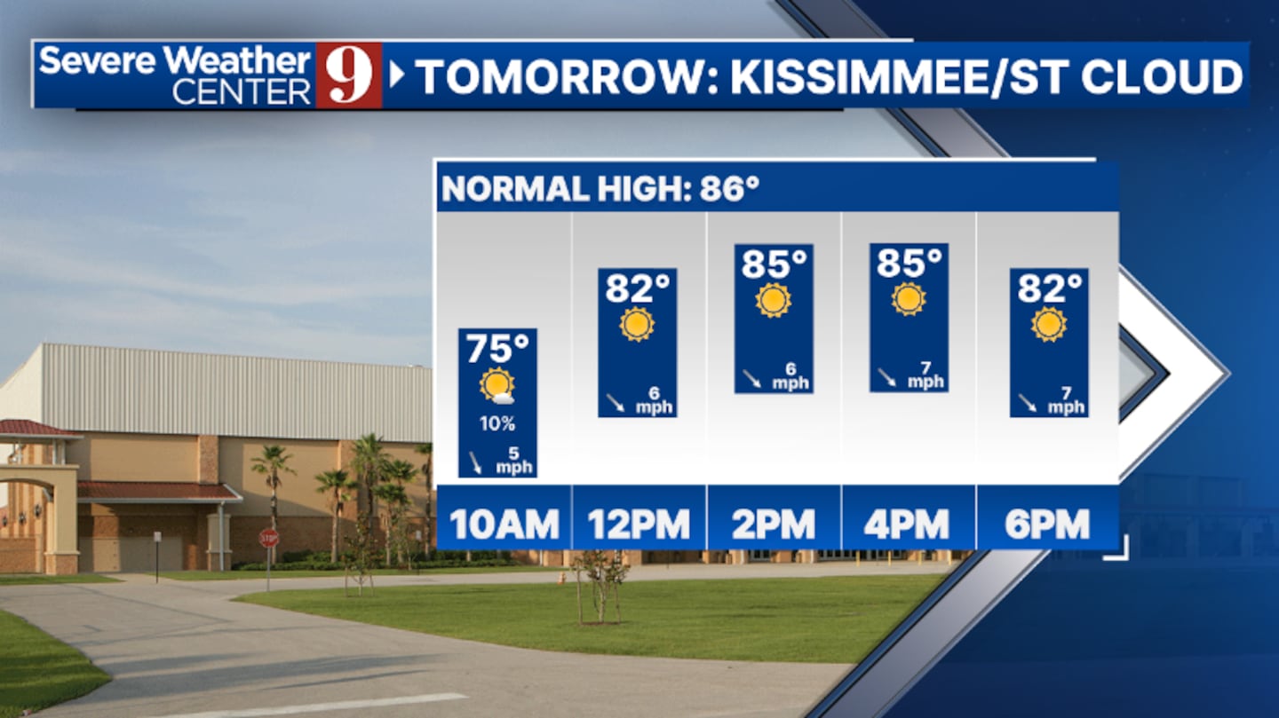
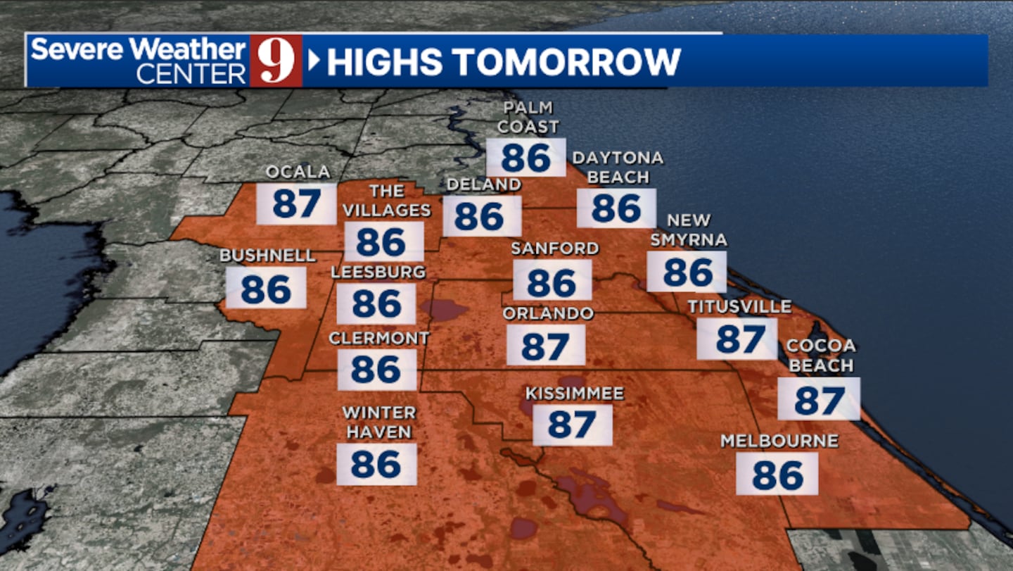
Monday will feature dry conditions and more warmth, with no real threat for rain. Highs for Monday will be in the upper 80s.
Read: Biden surveys Hurricane Milton damage in Florida
Our first true cold front since late spring arrives on Tuesday. A few showers will be possible as it pass through, but most will dry. Temps for Tuesday will be in the upper 80s.
Much cooler air will arrive for midweek, with sunshine Wednesday and highs only in the upper 70s.
Temps will warm back in the low 80s by late week, with a few coastal showers possible and breezy conditions developing.
Read: How to check if you are eligible for FEMA assistance after Hurricane Milton
Click here to download our free news, weather and smart TV apps. And click here to stream Channel 9 Eyewitness News live.
©2024 Cox Media Group


