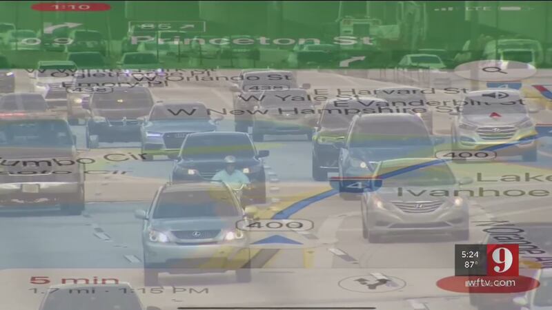
CENTRAL FLORIDA — You know the feeling: When you’re driving around, relying on your GPS, and suddenly you realize your map app has led you astray.
In a region where lanes shift, new ramps open, and interchanges change constantly, your GPS could actually take as many as two months for navigation systems to reflect new routes.
That doesn’t just translate to frustration. Drivers for rideshare companies like Uber and Lyft say their trips are taking longer and costing riders more because of new construction on local roads with which GPS just can’t keep up.
If you have a navigation system built into the dashboard of your car, you have to download updates to keep up with road changes.
Traffic Tracker: See live traffic maps
It's no guarantee that app on your phone will reflect the changes either. Eyewitness News tested this out on Thursday with the new eastbound I-4 exit for Princeton Street, which was recently moved two miles up the road. The road sign tells you where to exit, but the GPS didn't talk about exiting until a mile later.
By then, it was time to find a place to turn around.
“There’s a little frustration when you have clients that are coming in for conventions and things of that nature and it takes a little longer because you made a couple of U-Turns,” driver Ken Evans said.
Get breaking traffic alerts with the WFTV News app
Leaders with the I-4 Ultimate project said they notify GPS companies when they make major changes to roads, but it can still take four to eight weeks for those companies to update their maps.
I-4 Ultimate said you can get notifications about changes by clicking or tapping here.
Cox Media Group


