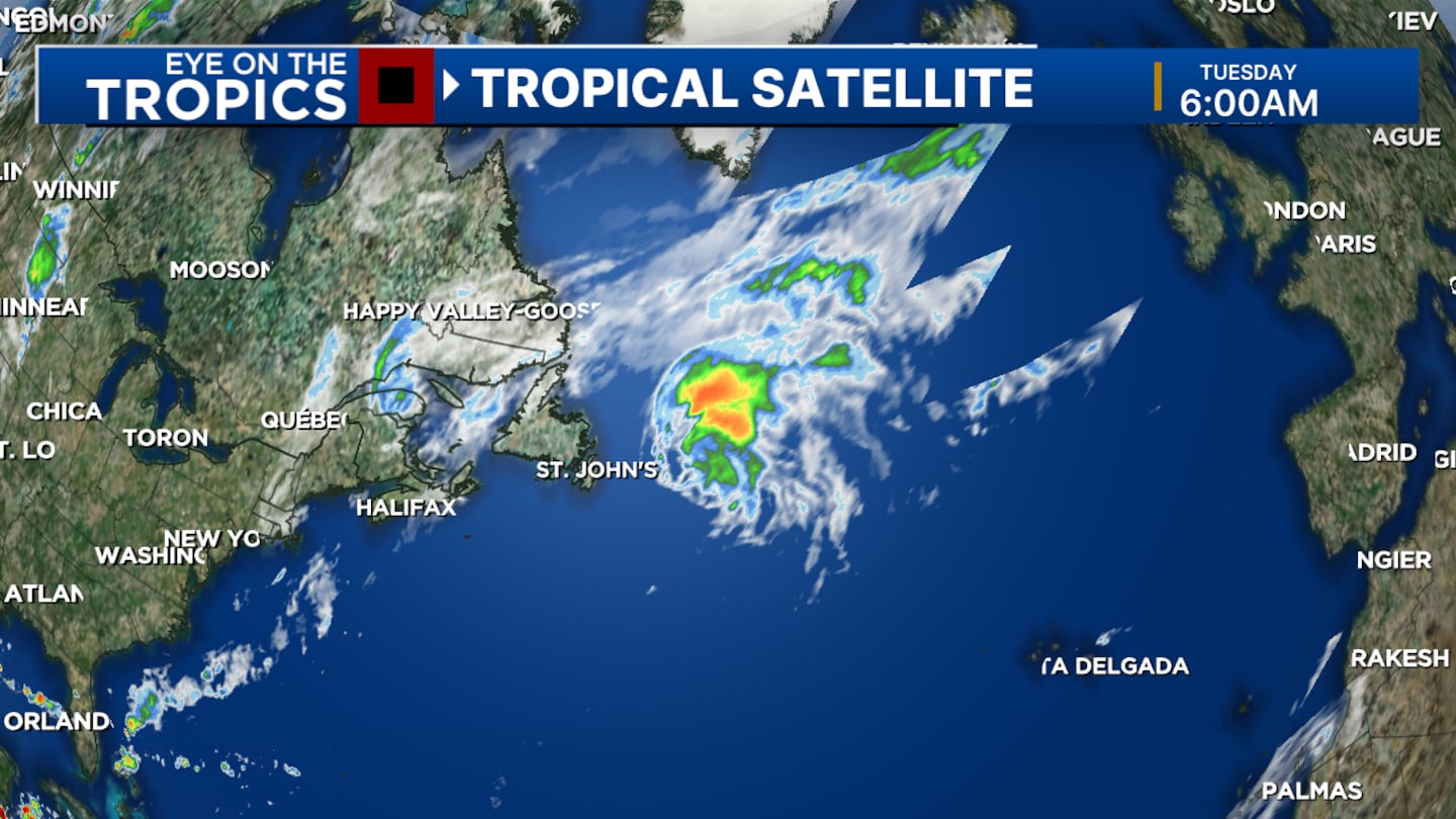
ORLANDO, Fla. — Ernesto hung on to its hurricane strength, albeit barely, as the storm sped through north Atlantic waters Tuesday morning.
▶ WATCH CHANNEL 9 EYEWITNESS NEWS
In its 5 a.m. advisory, the National Hurricane Center said Ernesto’s maximum wind speeds clocked in at 75 mph.
The hurricane, which passed near Newfoundland, was moving at 36 mph on a northeasterly path.
READ: Lawsuit can proceed: Disney drops Disney+ maneuver in wrongful death case
Hurricane #Ernesto Advisory 35: Ernesto Moving Rapidly Away From Newfoundland. Dangerous Beach Conditions Continuing Along the Northeast U. S. Coast and Atlantic Canada. https://t.co/tW4KeGe9uJ
— National Hurricane Center (@NHC_Atlantic) August 20, 2024
While the storm is expected to begin falling apart in the Atlantic, its impacts are likely to be felt in parts of Europe in the coming days.
Rain and gusty winds are forecast for Ireland and the United Kingdom.
READ: Orange County hopes to lure film industry with new incentives
Back here in Central Florida, Ernesto is mostly a memory, except for the strong rips the storm left behind at local beaches.
If you plan to visit the surf, keep in mind the risk for dangerous rip currents will remain high, meteorologist Brian Shields said.
Follow our Severe Weather team on X for live updates:
Click here to download our free news, weather and smart TV apps. And click here to stream Channel 9 Eyewitness News live.
©2024 Cox Media Group


