Update:
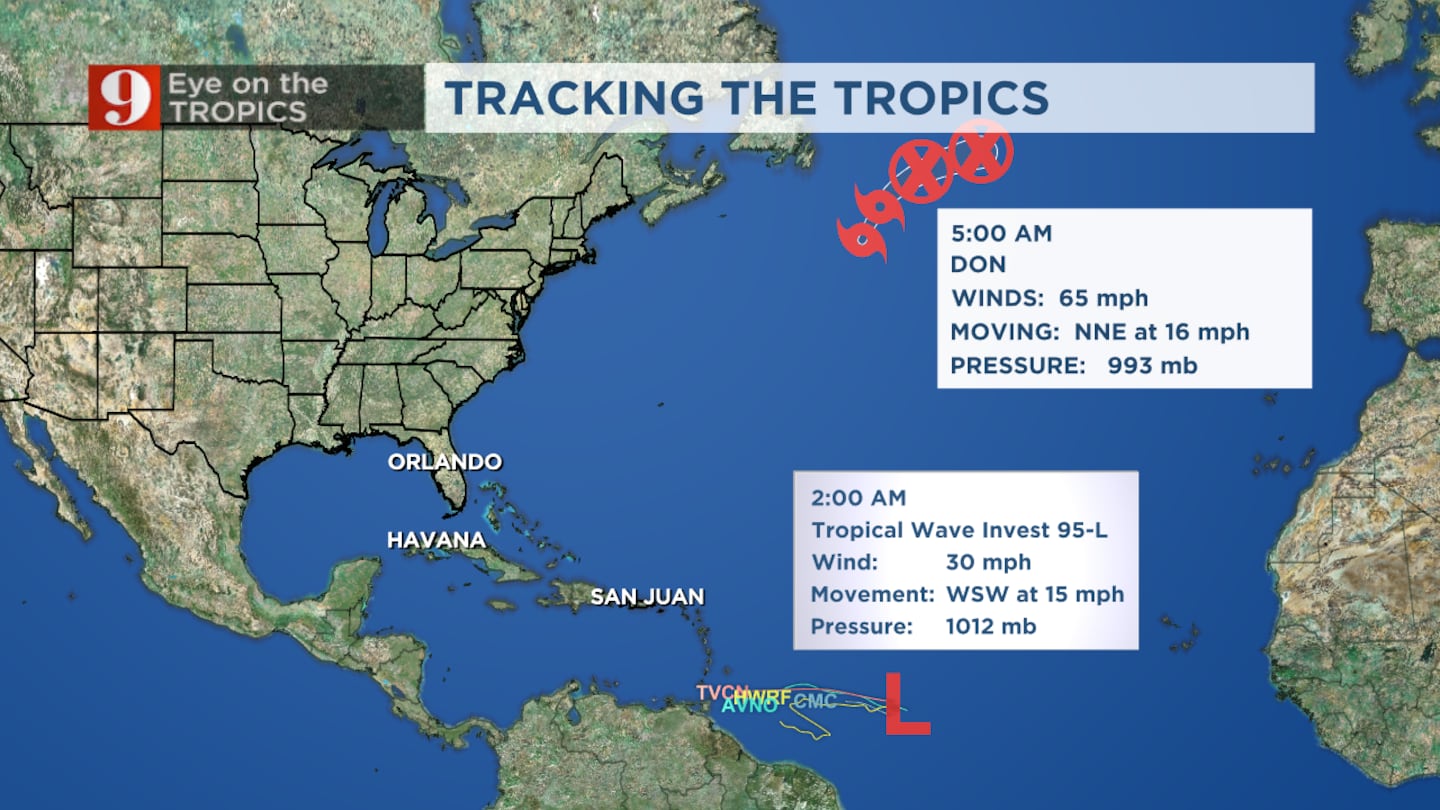
ORLANDO, Fla. — Low-pressure area, i.e. the disturbance in the tropical Atlantic approaching the Caribbean from the east, is now iffy in terms of its chance of development, at 40%.
>>> STREAM CHANNEL 9 EYEWITNESS NEWS LIVE <<<
Still, there’s a chance this could become a tropical depression this week as it moves into the Caribbean.
Now that it’s back down to tropical-storm status, Don will continue weakening over the next 48 hours after moving over cooler waters and may dissipate within 48 hours.
Previous story:
Don was a short-lived hurricane.
It has weakened to tropical storm strength and will continue to deteriorate over the next 48 hours.
Read: Eye on the Tropics: Don becomes the first hurricane of the season
We continue to monitor a tropical wave (Invest 95-L) which is approximately 1,000 miles east of the Windward Islands.
Currently, there is limited thunderstorm activity associated with this low, and it has only a marginal chance of developing further.
Read: I-Drive Throwdown: Truck show arrives in Orlando this weekend
Strong upper-level winds will limit its strengthening potential, but it could still become a tropical depression early this week.
Watch Channel 9 Eyewitness News for live updates.
Follow our Severe Weather team on Twitter for live updates:
Click here to download the free WFTV news and weather apps, click here to download the WFTV Now app for your smart TV and click here to stream Channel 9 Eyewitness News live.
©2023 Cox Media Group


