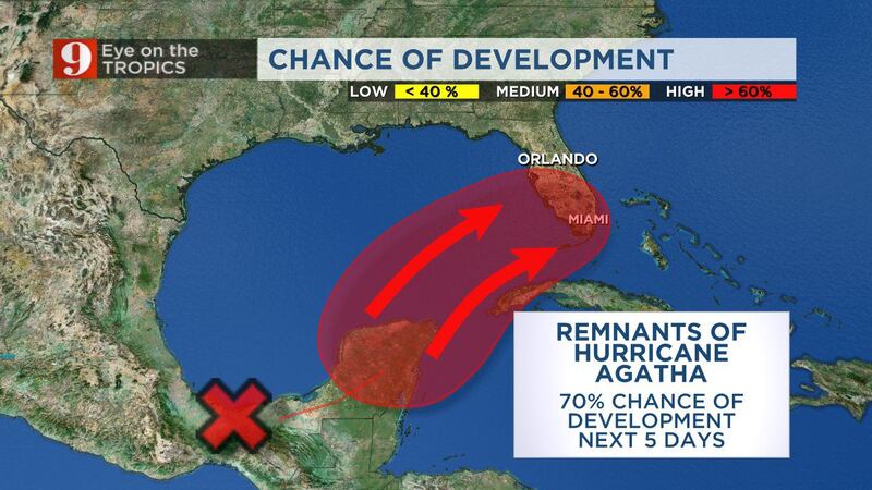
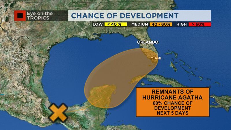
ORANGE COUNTY, Fla. — As the remnants of Hurricane Agatha move over southern Mexico, a large area of disturbed weather has developed over the Yucatan Peninsula.
>>> STREAM CHANNEL 9 EYEWITNESS NEWS LIVE <<<
Big difference between recent models for impacts to the Florida Peninsula this weekend from disturbance approaching from Mexico. 8pm NHC update now 40% development odds by 48 hours (still 70% over entire 5 days). pic.twitter.com/O6F2XM8YQz
— George Waldenberger (@GWaldenWFTV) June 1, 2022
By Friday, this system is expected to organize into a tropical depression. Between then and Saturday, there’s a chance further organization may result in our first named storm of the Atlantic season, Alex.
READ: Severe Weather Center 9 Special: ‘Calm Before the Storm’: How to watch
By Saturday, we’re watching this system’s potential impacts on Central Florida, although the exact track and timing are still uncertain.
The European model has been consistently forecasting a more northern track, ultimately close to Central Florida. This would spell a wet forecast for Saturday, with a threat for severe storms and pockets of flooding. The American GFS forecasting model and others have been consistent with a fsystem farther south, with minimal impacts locally.
READ: Hurricane names: Here’s why Agatha will become Alex if the storm redevelops
Until the new tropical depression officially develops, it’ll be hard to get an accurate lock on the forecast track, but once it does, by Thursday or Friday, we’ll have a better idea which way this system will go, and ultimately what impacts, if any, we’ll see in each of our 10 Central Florida counties.
READ: Hurricane Agatha makes landfall in Mexico as strongest May storm
Click here to download the free WFTV news and weather apps, click here to download the WFTV Now app for your smart TV and click here to stream Channel 9 Eyewitness News live.
©2022 Cox Media Group


