ORLANDO, Fla. — Channel 9 meteorologists are monitoring tropical waves moving west through the Atlantic.
▶ WATCH CHANNEL 9 EYEWITNESS NEWS
Update
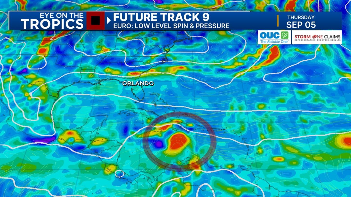
Chief meteorologist Tom Terry said we’re less than two weeks from the peak of the hurricane season (Sept. 10), and we’ll have to keep close tabs on a developing tropical disturbance well into next week.
By late next week, tropical models have a tropical system developing in the Caribbean -- something we’ll be monitoring closely.
Read: Action 9: How to prepare before the storm
The disturbance has a 40% chance of developing over the next seven days, Terry said.
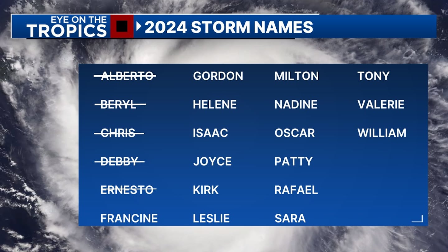
Francine is the next named storm -- a replacement name for Florence that damaged and flooded the Carolinas in 2018 and was retired.
Watch Terry’s live updates on the tropics on Channel 9 Eyewitness News.
Earlier story
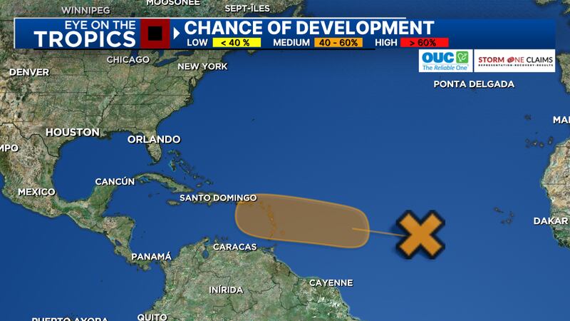
One of the waves has a 40% chance of tropical formation over the next week.
The low-pressure area will slowly try to develop as it moves closer to the Caribbean.
Watch: Action 9: How to prepare before the storm
Another strong tropical wave moving off the coast of Africa has a strong chance of tropical development in the future.
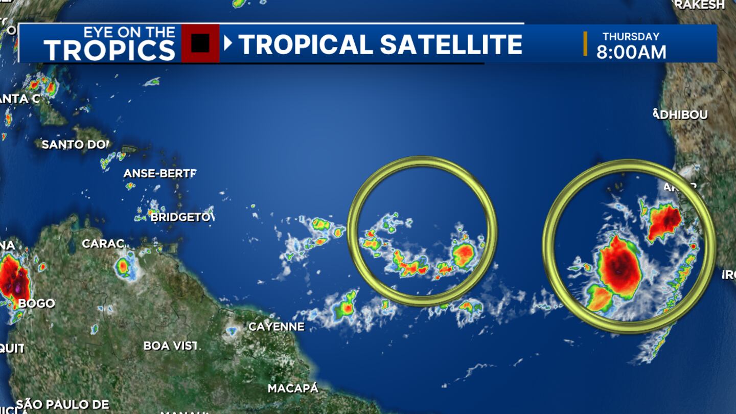
Both areas will likely develop, but it’s still too soon to know where they will go and how strong they will become.
Read: Hurricane watch vs. warning? Remembering the difference is a piece of pie
If either of the two areas becomes a named storm, it will be called Francine.
Thankfully, the tropics currently remain quiet near Florida.
Follow our Severe Weather team on X for live updates:

©2024 Cox Media Group