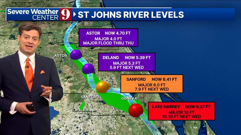
ORLANDO, Fla. — It’s been a nice start to the weekend, but river levels on the St. Johns River remain a major concern.
▶ WATCH CHANNEL 9 EYEWITNESS NEWS
Both Astor and DeLand are at major flood levels, and Sanford and Lake Harney will continue to see rises over the coming days.
The river will likely remain elevated through the week, and quite possibly for several weeks as the rainfall from Milton continues to drain.
Read: These Florida schools return to class after Hurricane Milton
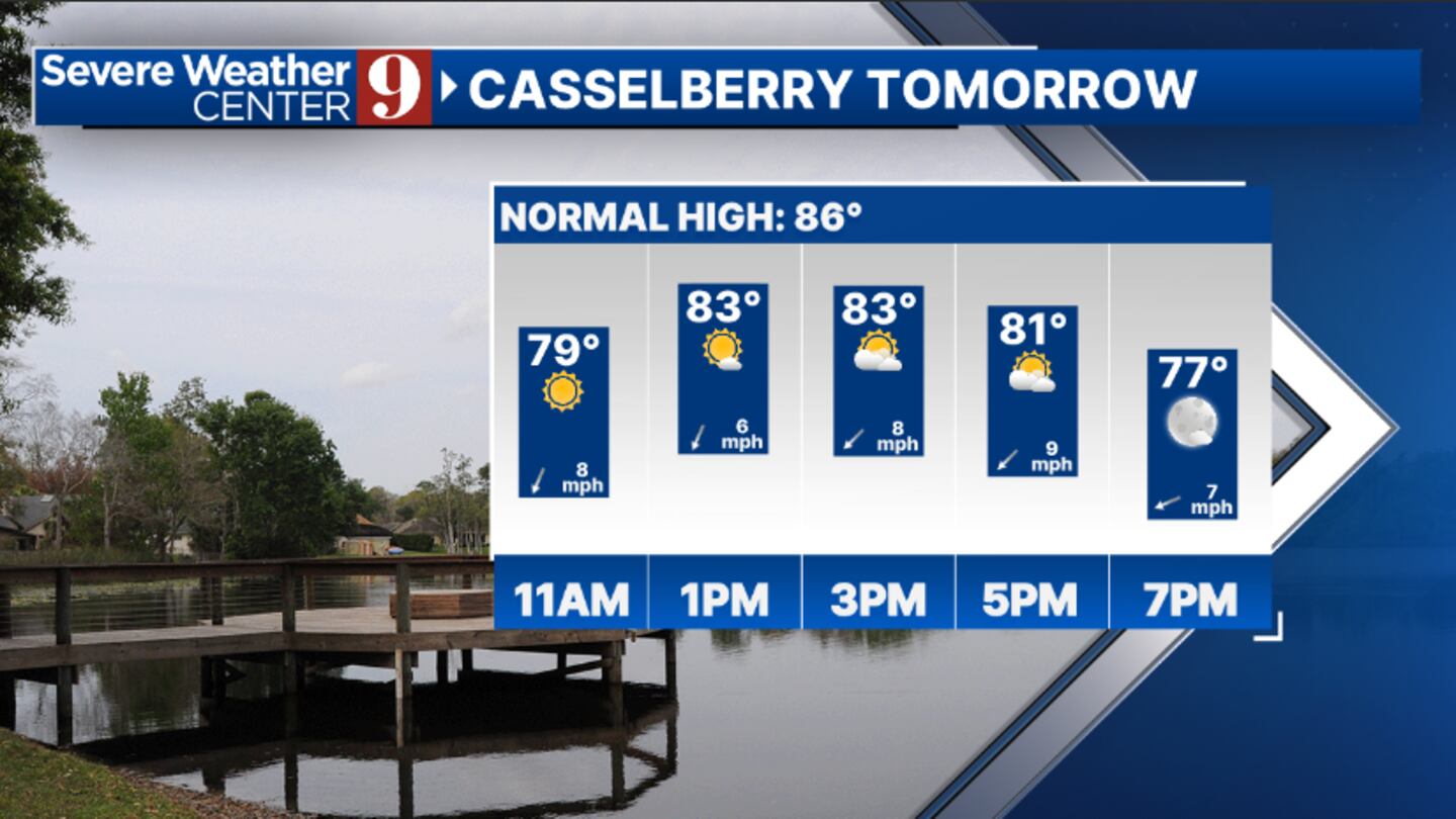
Weatherwise, expect just a stray shower south of I-4 for Sunday with highs in the mid 80s.
It turns warmer on Monday but dry conditions are expected. Temps to start the week will be in the upper 80s.
Read: 9 tips about insurance after Hurricane Milton
Our first cold front in months marches in on Tuesday. A few showers will be possible as it pushes through, but most will stay dry.
Behind, some truly cool and comfortable air arrives, with highs for the back end of next week in the upper 70s and low 80s.
Read: How to check if you are eligible for FEMA assistance after Hurricane Milton
Follow our Severe Weather team on X for live updates:
Click here to download our free news, weather and smart TV apps. And click here to stream Channel 9 Eyewitness News live.
©2024 Cox Media Group


