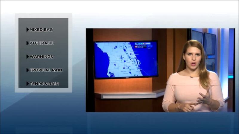
Florida will experience summer and fall this weekend, as a tropical disturbance and a cold front is set to affect the Sunshine state. The tropical disturbance, although it has a high chance for development into a fully tropical system, doesn’t have too much time to do so. If it develops, it really only has about a day to do so.
The disturbance will start to move to the northeast, producing heavy rainfall in the Cayman Islands and Cuba Friday and Saturday. The National Hurricane Center started advisories on Potential Tropical Cyclone #18, or PTC18, this is because the storm is not fully developed tropically yet, but it is close enough to threaten land and residents with hazardous weather. A hurricane hunter plane has found 56 mph winds and continues to investigate the system early Friday evening.
Regardless of development, the system is set to bring same impacts across the western Caribbean, the southern half of Florida and the Bahamas. Rainfall amounts could reach above 5 inches across parts of South Florida and around 1.5 in the southern tier of Central Florida. Expect heavier storms Saturday evening.
#PTC18 to bring high rainfall to #Cuba #Bahamas & S. #FL
— Irene Sans (@IreneSans) October 27, 2017
Cold front to sweept it east https://t.co/gyDR7lbD7H pic.twitter.com/xQVxItI5xu
A COLDER FRONT
The reason the disturbance is moving to the northeast is because a cold front, positioned over the central region of the U.S. Friday afternoon, is moving eastward and will sweep the tropical system toward the Atlantic.
This cold front is bringing the coldest air mass of this season so far across much of the U.S. From the Great Lakes to Texas, freeze warnings are in effect. In Florida, the front will not bring freezing temperatures, but it will bring a pronounced drop in temperatures, especially Monday morning.
The cold air mass will start to take over Sunday. Under partly cloudy skies, the highs will reach low 70s. Monday morning, temperatures will drop to the mid- to upper 40s across metro areas and in the low 40s in rural areas.
RAINFALL
Central Florida could receive some heavy amounts of rain, mainly courtesy of the tropical disturbance, but the main bulk of the heavier showers and storms will be focused south of Orange County. Brevard, Osceola, Polk and extreme southern Orange County could receive over 1 inch of rain. The areas north of Orange will only receive up to one inch of rain, some perhaps not even reaching half an inch.
Pronóstico en español por nuestra meteoróloga Irene Sans
Cox Media Group


